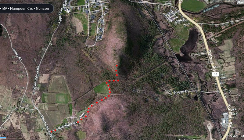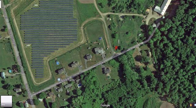
Directions
It is 71 miles/1hr 19min from Providence. The cliff was mistakenly
called Bunyan Mountain by the early developers of the routes
there. It is actually on Chicopee Mountain. Getting there has
always been the crux. There have been various ways to
access the
cliff over the years and all of them have become access issues. The
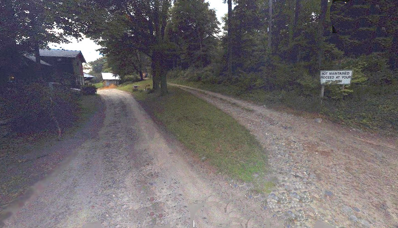
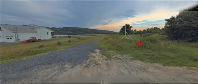
current way to get there is through Macomber
Road. Macomber Road is off Upper Palmer Road. The road looks
like it goes through the Aroot Farm's backyard but it is
reportedly a
public road and a sign that says "Not Maintained Proceed At Your Own
Risk" indicating such. I've accessed the cliff this way and
the landowner waved at me so I assume it is not a problem. You
can't drive in this way so you have to park at a small pull-off (not
blocking access to the farmer's field) on the left (north) side of
Macomber Road just past
the last new house. Limit this to one car. Walk in from
there following the road on the right and edge of the field until
you reach the power line. Follow the power line until just before
a
steep hill drops down. You will see a trail to your left
(north). Take
that to the top of the cliff.