Directions
Beach Pond is in Exeter,
RI on the Connecticut border. It is 32 miles/39 minutes from
Providence. From points north take Exit 14a off
Rt 95. Go right (east) on Rt 102. Take a right (south) on Rt 3. Take a
right (west) on Rt 165 and go for approximately seven
miles. From points south take Exit 9 off Rt 95. Go right
(north)
on Rt 3. Take
a left (west) on Rt 165.
There
are multiple ways to approach the cliffs. The most direct is to park at
the lot on RT 165 on top of the hill before you get to Beach Pond. (2817 Ten Rod Road, 41.575424, -71.782875). From
there you walk back east for 100 feet or so and take the trail on the
right (south). It is the one marked with the arrows. Where the trail folks stay to the left. You will go for
a half mile or so and come to a small brook cross the brook
and continue on the trail. It will meet up with the
Tippecansett trail (yellow blaze). Follow that and you will see
Hemlock Ledge on the left. This
approach takes about 15 minutes at a steady pace. Another
approach is drive until you see
Beach Pond. Just before the road starts across the pond, turn left into
a small parking area at the water's edge. Follow the yellow trail
markers (Tippecansett trail) around the pond to the south end for about
3/4 mile. You will
see the cliff on the left side of the trail.

 |

Nicole leading Topless Beach.
|
Left End (left to right) One Holer 5.8, Toe or Throw 5.10. Smiley 5.7 |
Directions
Follow the directions for Hemlock Ledges. Stay on the
Tippecansett trail (yellow blaze) past Hemlock Ledge. You will see a
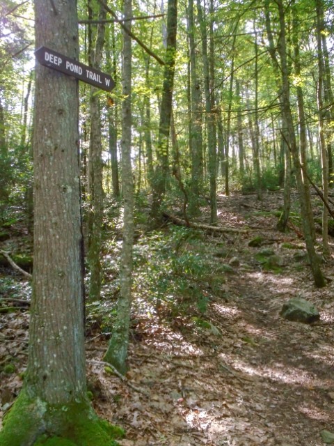
sign for Deep Pond trail (white blaze). Take the Deep Pond Trail.
It will split with the Hemlock Ledges trail. Take the Deep
Pond W
trail to the left. Right after you cross a wooden bridge you go up a
small hill. Start looking for a cairn on the
right
side of the trail on top of a big rock. (May or may not be there.) Enter the woods across from the
cairn on
the left side of the trail. The trail is not cut nor marked
at
its entrance. Please do not cut or snap branches so we don't draw
attention to the trail. Once you get in the woods 25 feet or so there
is a
cut trail. Follow that to the cliff. The approach is about 20 minutes from the parking lot.
 |
 |  |
Routes-History
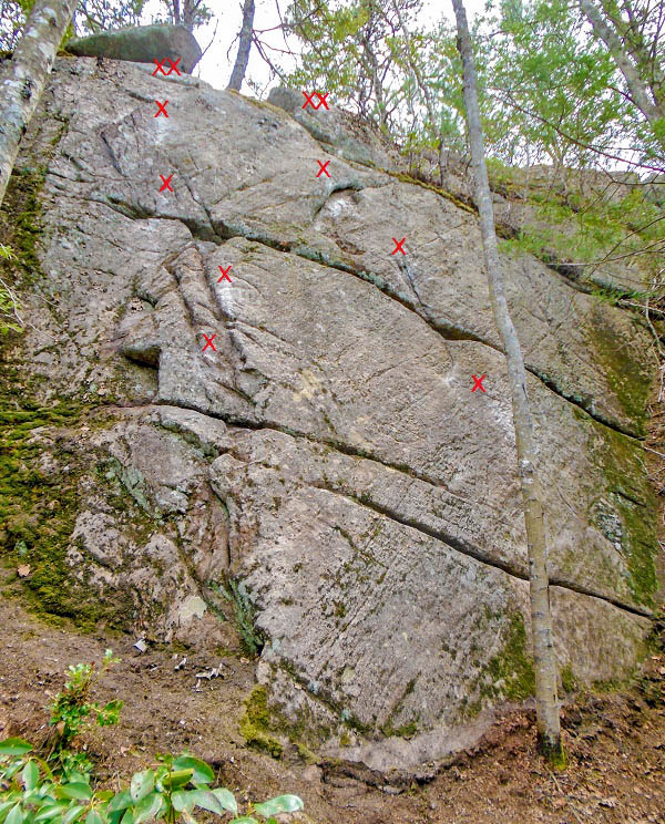
Hidden Ledge is 40
feet high at its highest point. This cliff was reportedly known by
boulderers but obviously never climbed much, if at all, as it was
covered in dirt and moss. I discovered it in 2024
when I was looking at the area on Google Earth and noticed what looked
like a cliff in the woods away from any trail. With a compass and
topographic map, I bushwhacked through a jungle of mountain laurel and
found this cliff. It
isn't as wide as Hemlock Ledge so there are few
routes, and they are closely spaced to get as much out of this
cliff as possible. Cliffs this size are a rarity in Rhode Island and
unless lost it is highly unlikely that hikers will ever walk by this
cliff. Like
Hemlock Ledge it is a beginner area with easy routes. I
debated whether to bolt some of the easier lines that
have horizontals and will take gear. I left an obvious easy trad
line and
a hard trad line. There are currently five sport routes and two trad routes here.
 Left Side: Yellow-Don't Even Tri 5.10. Red-Keepting It Easy 5.7 |  Right Side: Green-Baby Bump 5.6. Yellow-Bushwhacker 5.6. Blue-Push and Pull 5.8 |
 Left Slab: La Dirty Dirty 5.6. First Blood 5.9 |  Chris Beargeron on the FA of Don't Even Tri |
Routes from left to right
La Dirty Dirty 5.6 sport (4 bolts to anchor) FA Ted Rasmussen, April 2025.
First Blood 5.9 sport (3 bolts and anchor). FA Brian Phillips, April 2025.
Don't Even Tri 5.10
trad, FA Chris Beargeron, March 2024. Difficulty varies slightly if you use
the arete on the left or go straight up on crimpers.
Keeping It Easy* 5.7 sport (5 bolts and anchor). FA Brian Phillips, March 2024. Shared anchors.
Baby Bump 5.6 trad, FA Emily Koo, April 2024. Friendly spacing of horizontal cracks. Shared anchor..
Bushwhacker
5.6 sport (5 bolts and anchor), FA Brian Phillips, March 2024. This
could be comfortably led trad clipping one bolt at the top.
Push and Pull* 5.8 sport (4 bolts and anchor), FA Drew Lombardi, March 2024.